< Back to Search Results
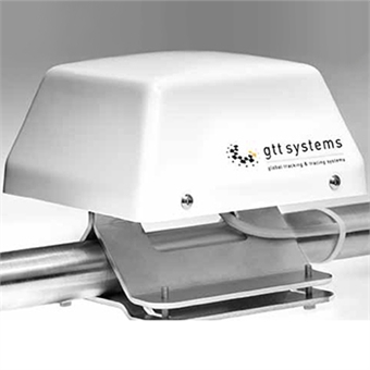
GTTS-3000

The GTTS-3000 was developed especially for the maritime market to be used on sea going vessels as well as for the smaller coasters. Robustness, Reliability, Long Lasting and a Low Cost price were the keywords during the design of the GTTS-3000.

    Applications:
  • Support for Electronic Charts (ECDIS)
  • Tracking & Tracing of all kinds of Vessels, Dreadgers and Marine Equipment
  • Shore Support M2M applications
  • General M2M Monitoring and Control
 

Manufacturer

PDFs

About Us

Showing location, time stamp, speed and heading overlaid on Google maps, BlueTide global vessel mapping is comprehensive. Elements include historic location and heading information mapping as well as measurement tools, with location being updated every seven minutes or shorter if needed. ...Read More >

BlueTide Communications Logo

Contact Info

BlueTide Communications
200 Cumming Road

(337) 205-6720
Toll Free: +(337) 837-3712
support@bluetidecomm.com

Contact Us
topTo the top